
How the Joliet ZIP Code Directory Covers Postal Areas
The City of Joliet's residential transfer disclosure supplies the best local starting list. It groups six Joliet-labeled postal areas and also names three adjacent postal branches that may appear in greater-Joliet address work. The table is a routing guide, not a map of incorporated city land.
| ZIP | Area or label in the local source | Post-office context | Record-search note |
|---|---|---|---|
| 60431 | Joliet postal service area | Joliet on the City form | Verify county and city situs |
| 60432 | Joliet, with central and downtown use | Joliet label reference | Recorder ZIP and voter ZIP steps apply |
| 60433 | Joliet postal service area | Joliet label reference | Use for postal narrowing |
| 60434 | Joliet postal service area | Some mail products can reference Crest Hill | Check USPS and GIS |
| 60435 | Joliet postal service area | Some mail products can reference Crest Hill | Confirm PIN and county |
| 60436 | Joliet postal service area | Joliet label reference | Recorder and voter steps accept ZIP |
| 60586 | Adjacent Plainfield branch | Plainfield label | Not proof of Joliet incorporation |
| 60451 | Adjacent New Lenox branch | New Lenox label | Check City map and assessor |
| 60441 | Adjacent Lockport branch | Lockport label | Check City map and assessor |
No official city ZIP-by-neighborhood street list, current resident count by ZIP, or local split history was found. The Joliet ZIP code directory therefore avoids assigning exact neighborhood borders where the source does not.
Joliet ZIP Codes Cross a Two-County Records Map
Joliet is the Will County seat, yet the western part of the city reaches into Kendall County. A Joliet mailing line can therefore lead to Kendall Recorder, Kendall Assessments, Kendall County Clerk, or Kendall Circuit Clerk. Most searches begin in Will County, but a legal-county check must come before a final conclusion.
The Kendall County GIS portal is the official spatial route for a parcel on that side.
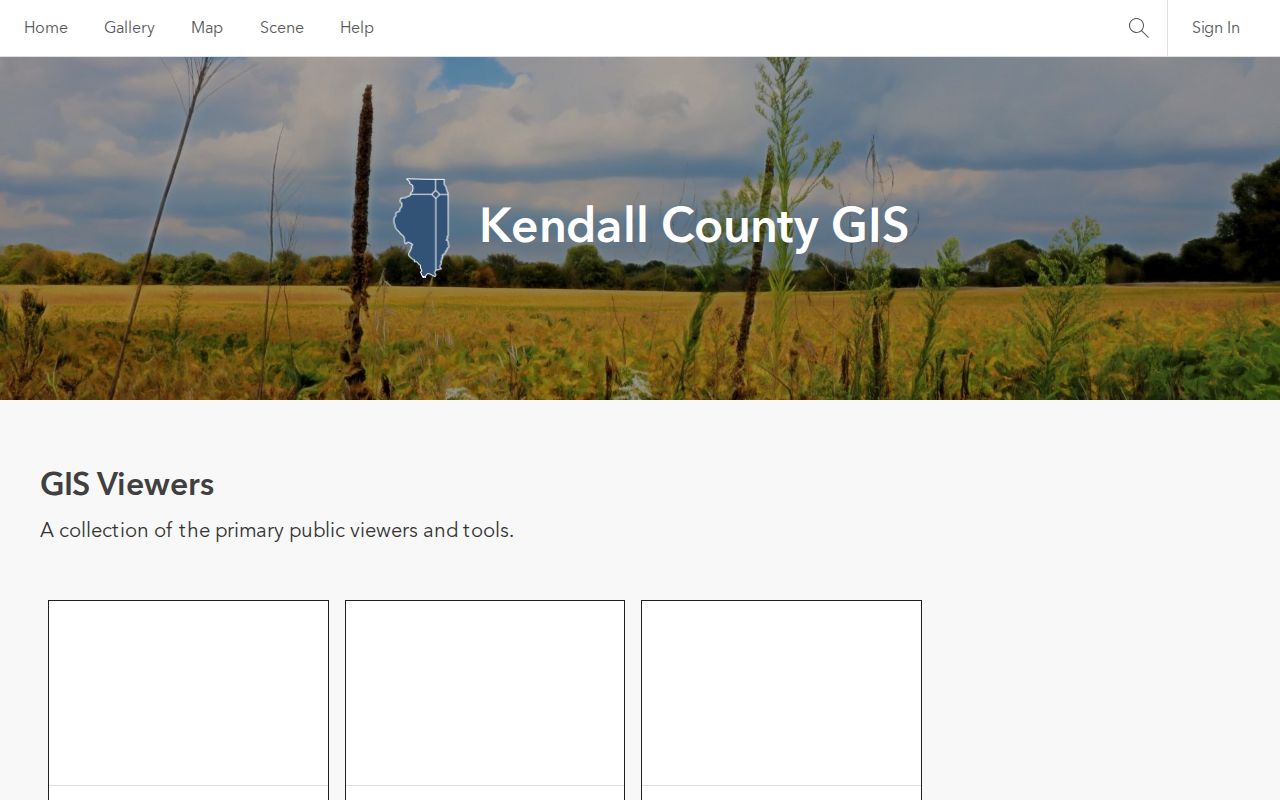
The map helps separate a Joliet postal identity from the county office that legally holds the parcel record.
Verify a Joliet ZIP Code Through USPS First
The USPS ZIP Lookup standardizes a postal address. Its Find by Address mode accepts an optional company plus required street address, city, and state. Separate modes find ZIPs from city and state or return city labels associated with a ZIP. A result confirms routing, not a resident or organization at the address.
| USPS mode | Fields | What it answers |
|---|---|---|
| Find by Address | Company optional; street, city and state required | Standard postal form and ZIP |
| Find by City & State | City and state | ZIP and city-label relationships |
| Cities by ZIP | ZIP | Associated post-office labels |
| Find / Reset | Buttons | Runs or clears the lookup |
USPS City State Product data is updated as a postal validation product. Labeling data reviewed for the research showed why 60431, 60434, and 60435 can carry Crest Hill references in some mail products even though the City transfer form includes them among Joliet postal ZIPs.
Finding Joliet Records Within One ZIP Code
A ZIP helps narrow several official routes, but each uses it differently. Will Recorder's Advanced Address mode has a ZIPCODE field alongside house number, street, and city. The Illinois voter tool uses ZIP to load street controls for a known voter's status check. Will SOA does not document a dedicated ZIP field in its address form, so it needs a street, city, or PIN.
- Standardize the known address through USPS and save the postal label.
- Check Will or Kendall GIS to identify the legal county and municipality.
- Use the correct assessor with street, city, or PIN to find the parcel.
- Search Will Recorder by ZIP, address, PIN, or name when the parcel is in Will County.
- Use the voter lookup only for a known person's status match, not a ZIP-wide list.
Once the work narrows to a named road, the Joliet by-street directory covers the address and deed sequence in depth.
Joliet PINs Outlast Postal Label Changes
A postal line can change through annexation, subdivision, readdressing, or USPS standardization. The current parcel identification number and legal description are stronger continuity keys. Will County formats a PIN in six groups with maximum lengths of 2-2-2-3-3-4. Searchers should copy the 16-digit PIN from a tax bill or official result rather than assemble one.
The official Will County assessment PIN search is a core handoff from ZIP geography to a specific parcel.
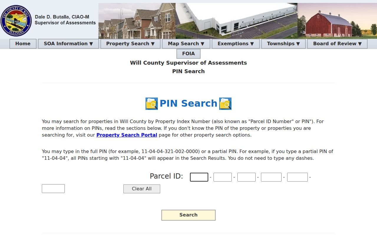
The PIN joins the assessment record to recorder and GIS searches even when the mailing city or ZIP label is confusing.
GIS Resolves Joliet ZIP and City-Line Conflicts
Will GIS can place an address against parcels, county limits, municipalities, zoning, flood areas, districts, and address points. The map is the right place to test whether a postal label agrees with a legal city boundary. It is not a survey and does not itself prove who lives on a parcel.
The Will County 9-1-1 GIS and Addressing page describes county addressing authority and verification for unincorporated sites.
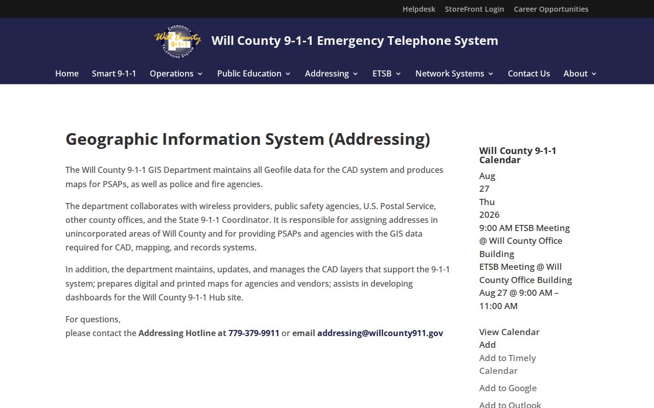
Inside incorporated Joliet, the City's address-verification map and Planning or Zoning supply the municipal check.
Census ZCTAs Are Not Joliet Delivery Boundaries
Census ZIP Code Tabulation Areas are generalized statistical shapes built to represent USPS ZIP service areas. They are useful for broad tables and maps, but they are not live carrier boundaries. A ZCTA result should not decide whether one home is within Joliet, Will County, or Kendall County.
The Census Bureau ZCTA guidance explains that distinction.
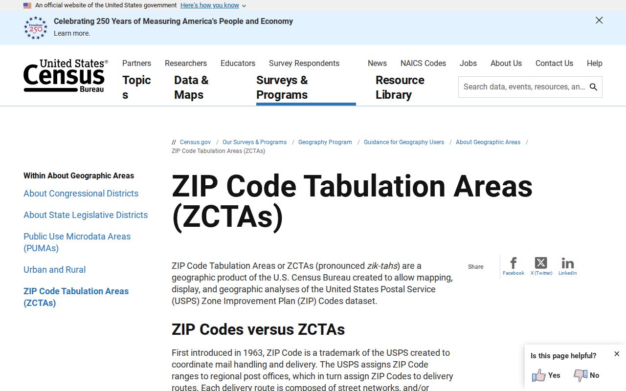
Use ZCTAs for area-level statistics, then return to USPS and local GIS for an individual address.
Why Crest Hill Labels Appear in Joliet ZIP Research
The City's own disclosure and USPS labeling references do not always display the same preferred place name for the core postal areas. That is a postal-label quirk, not evidence that the legal situs changed. The safe sequence is standardized USPS address, correct county, municipal boundary, and assessor PIN.
Postal label rule. Record the city name USPS returns, but do not convert that label into a claim about incorporation or county jurisdiction.
The same caution applies to Plainfield 60586, New Lenox 60451, and Lockport 60441 in the City disclosure. Their appearance is an address-confusion warning, not a statement that those postal areas are all part of Joliet.
This distinction also protects the quality of later searches. A recorder query keyed only to a postal city can miss a deed filed under another accepted label. An assessor result can display both a property location and a tax mailing line, which may point to different places. Save both fields, but describe each by its actual role. For a parcel near Crest Hill, compare the municipality layer with the parcel boundary before choosing a city office. For a western Joliet site, switch to Kendall sources when the county layer requires it. Postal text is the clue that starts the check, not the legal answer that ends it.
Where Joliet Postal Areas End and City Limits Begin
This directory can sort postal areas, but city limits follow municipal law and mapped boundaries. A delivery zone may cross a city line, and one city can span more than one county. That mismatch controls the custodian: a Kendall-side Joliet parcel uses Kendall offices even when the mail line says Joliet.
- ZIP versus ZIP+4
- A five-digit delivery area versus a more precise four-digit delivery segment appended to it.
- PO-box ZIP
- A ZIP assigned mainly to post-office boxes rather than street delivery.
- Unique ZIP
- A ZIP assigned to one large organization or institution; none was established for Joliet in the research.
- Carrier route
- A USPS delivery path within a ZIP, not a municipal border or resident list.
A postal search that returns nothing can be retried with the street, PIN, owner name, recorder index, or library sources. The absence of a ZIP match does not prove the absence of a record.
Historical sources need one more layer of care. Joliet's old maps, Sanborn sheets, ward map, atlases, and street directories organize place by street, lot, ward, or house number rather than by today's postal zones. To connect an old address with a current postal area, find the lot and block on the historical source, match the modern parcel in GIS, and then read the current standardized address. This preserves the distinction between a dated address clue and a modern routing code.
No official local source established a special institution-only postal zone, a citywide ZIP realignment year, or a complete resident count for each Joliet postal area. Those gaps should remain visible. Broad Census ZCTA totals can describe a generalized statistical area, but they should not be relabeled as the population of incorporated Joliet within that zone.